• About Us
    • Mission Statement
    • Forms
      • Donation Letters
      • LHHV Legal Page
      • Support Letters
    • LHHV Documentation
      • Mission Statement
      • Executive Summary 2010
      • LHHV By-Laws
      • LHHV Code of Ethnics
      • LHHV Policies and Procedures
      • Maps
      • Executive Summary Pitt
      • LHHV Employee Handbook
  • Veterans Projects
    • Feeding Our Veterans in Need
    • Veteran’s Memorial Tags & Benches
    • Laurel Highlands Veterans Forms
  • Contact LHHV
  • ARTS & HERITAGE FESTIVAL 2026
    • Sponsorship Support Letter
    • Event Brochure and map for 2025
    • Vendor & Crafter Application 2025
    • Festival Map
  • Laurel Highlands Exploration Center
    • Historical Element
      • Luna Park Roxbury Gone
      • Mount Davis Mountain
      • Ohiopyle Region
      • Mt. Davis
      • Laurel Highlands Unexplained Activity
      • Lemon House and Portage Railroad
      • Laurel Highlands Unexplained Activity
      • Johnstown National Flood Park
      • Folklore, Myths and Legends
      • Fort Ligonier
      • Idlewild Park and Soak Zone
      • Laurel Caverns
      • Johnstown Floods 1889 and 1936
      • Hiking Trails in Central PA
      • Walking Tour of Johnstown
      • A Trail Full of History
      • Caves and Caverns
      • Horseshoe Curve
      • Ebensburg County Seat
      • Buttermilk Falls
      • LHHV at Gettysburg
      • Bethlehem Steel
      • Folklore & Legends
      • Fort Ligonier
      • Blue Knob State Park & Ski Resort
      • Boy Scouts of America – Penn’s Woods Counsel
      • Gettysburg
    • Recreational Activities
      • Laurel Highlands Veterans Greenway Lop Trail
      • LHHV Forest Trails Hiking Rules
      • Honan Ave Hiking Trail
      • Weather in the Laurel Highlands
      • Trails
      • Local Attractions
      • Johnstown Attractions
      • Boating Rafting Kayaking
      • Winter Fun
      • LHHV Forest Trails Hiking Rules
    • Education
      • Conservation & Wildlife
      • Backyard Astronomy
      • Ethnic Music
        • Duquesne University Tamburitzans
      • Ethnic Communities
        • Caribbean Countries
        • European Counties
        • English
        • East Asia and Oceania
        • Central America
        • Asia
        • Africa
      • Ethnic Recipes
        • Apple Press Homemade
    • Wellness Support
      • Veterans Administration
      • Veterans Leadership Program
      • How to build a Wellness Park
      • Serenity Gardens their mission
    • Community Engagement
  • Videos
  • Various LHHV Pictures
  • Johnstown History Jim Gindlesperger
  • LHHV LOGOS
  • Laurel Highlands Wildlife
  • Laurel Highlands in Pictures

Laurel Highlands Historical Village

Be Proud of Who You Are - Be Proud of Your Heritage

  • Laurel Highlands Historical Village
  • About Us
    • Mission Statement
    • Forms
      • Donation Letters
      • LHHV Legal Page
      • Support Letters
    • LHHV Documentation
      • Mission Statement
      • Executive Summary 2010
      • LHHV By-Laws
      • LHHV Code of Ethnics
      • LHHV Policies and Procedures
      • Maps
      • Executive Summary Pitt
      • LHHV Employee Handbook
  • Veterans Projects
    • Feeding Our Veterans in Need
    • Veteran’s Memorial Tags & Benches
    • Laurel Highlands Veterans Forms
  • Contact LHHV
  • ARTS & HERITAGE FESTIVAL 2026
    • Sponsorship Support Letter
    • Event Brochure and map for 2025
    • Vendor & Crafter Application 2025
    • Festival Map
  • Laurel Highlands Exploration Center
    • Historical Element
      • Luna Park Roxbury Gone
      • Mount Davis Mountain
      • Ohiopyle Region
      • Mt. Davis
      • Laurel Highlands Unexplained Activity
      • Lemon House and Portage Railroad
      • Laurel Highlands Unexplained Activity
      • Johnstown National Flood Park
      • Folklore, Myths and Legends
      • Fort Ligonier
      • Idlewild Park and Soak Zone
      • Laurel Caverns
      • Johnstown Floods 1889 and 1936
      • Hiking Trails in Central PA
      • Walking Tour of Johnstown
      • A Trail Full of History
      • Caves and Caverns
      • Horseshoe Curve
      • Ebensburg County Seat
      • Buttermilk Falls
      • LHHV at Gettysburg
      • Bethlehem Steel
      • Folklore & Legends
      • Fort Ligonier
      • Blue Knob State Park & Ski Resort
      • Boy Scouts of America – Penn’s Woods Counsel
      • Gettysburg
    • Recreational Activities
      • Laurel Highlands Veterans Greenway Lop Trail
      • LHHV Forest Trails Hiking Rules
      • Honan Ave Hiking Trail
      • Weather in the Laurel Highlands
      • Trails
      • Local Attractions
      • Johnstown Attractions
      • Boating Rafting Kayaking
      • Winter Fun
      • LHHV Forest Trails Hiking Rules
    • Education
      • Conservation & Wildlife
      • Backyard Astronomy
      • Ethnic Music
        • Duquesne University Tamburitzans
      • Ethnic Communities
        • Caribbean Countries
        • European Counties
        • English
        • East Asia and Oceania
        • Central America
        • Asia
        • Africa
      • Ethnic Recipes
        • Apple Press Homemade
    • Wellness Support
      • Veterans Administration
      • Veterans Leadership Program
      • How to build a Wellness Park
      • Serenity Gardens their mission
    • Community Engagement
  • Videos
  • Various LHHV Pictures
  • Johnstown History Jim Gindlesperger
  • LHHV LOGOS
  • Laurel Highlands Wildlife
  • Laurel Highlands in Pictures

Mount Davis Mountain


Mount Davis (3,213 ft or 979 m) is the highest point in Pennsylvania. Located in the 5,685 acres (2,301 ha) Forbes State Forest near the hamlet of Markleton in Elk Lick Township, Somerset County, it lies on a gentle crest of a 30-mile (50 km) ridge line extending from central Somerset County southward into Garrett County, Maryland known as Negro Mountain.

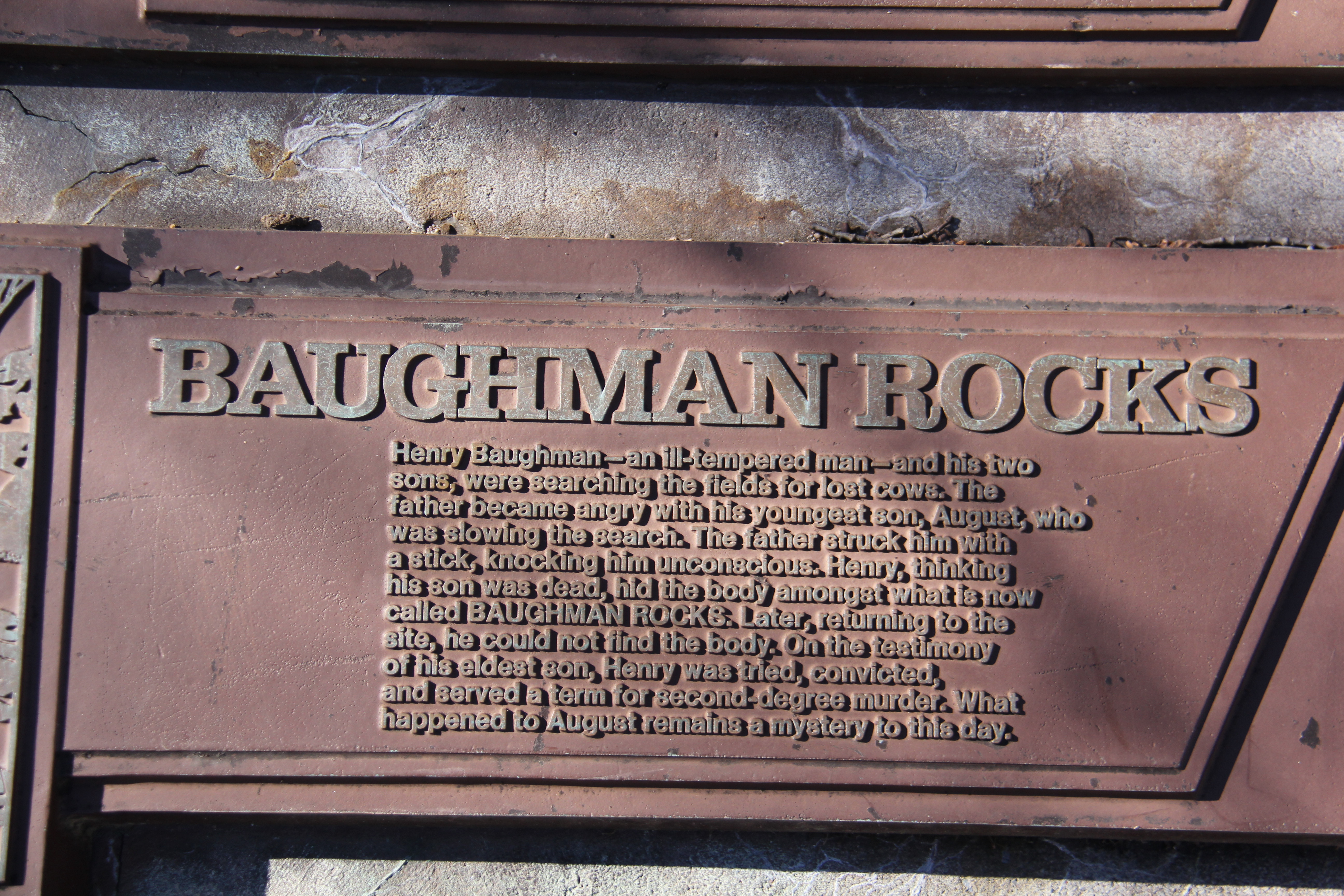
The high point was named for John Nelson Davis, an early settler, American Civil War veteran, surveyor, and naturalist known for his studies of the mountain’s flora and fauna. During the Civil War, Davis served in Company E, 102nd Pennsylvania Infantry.[3]

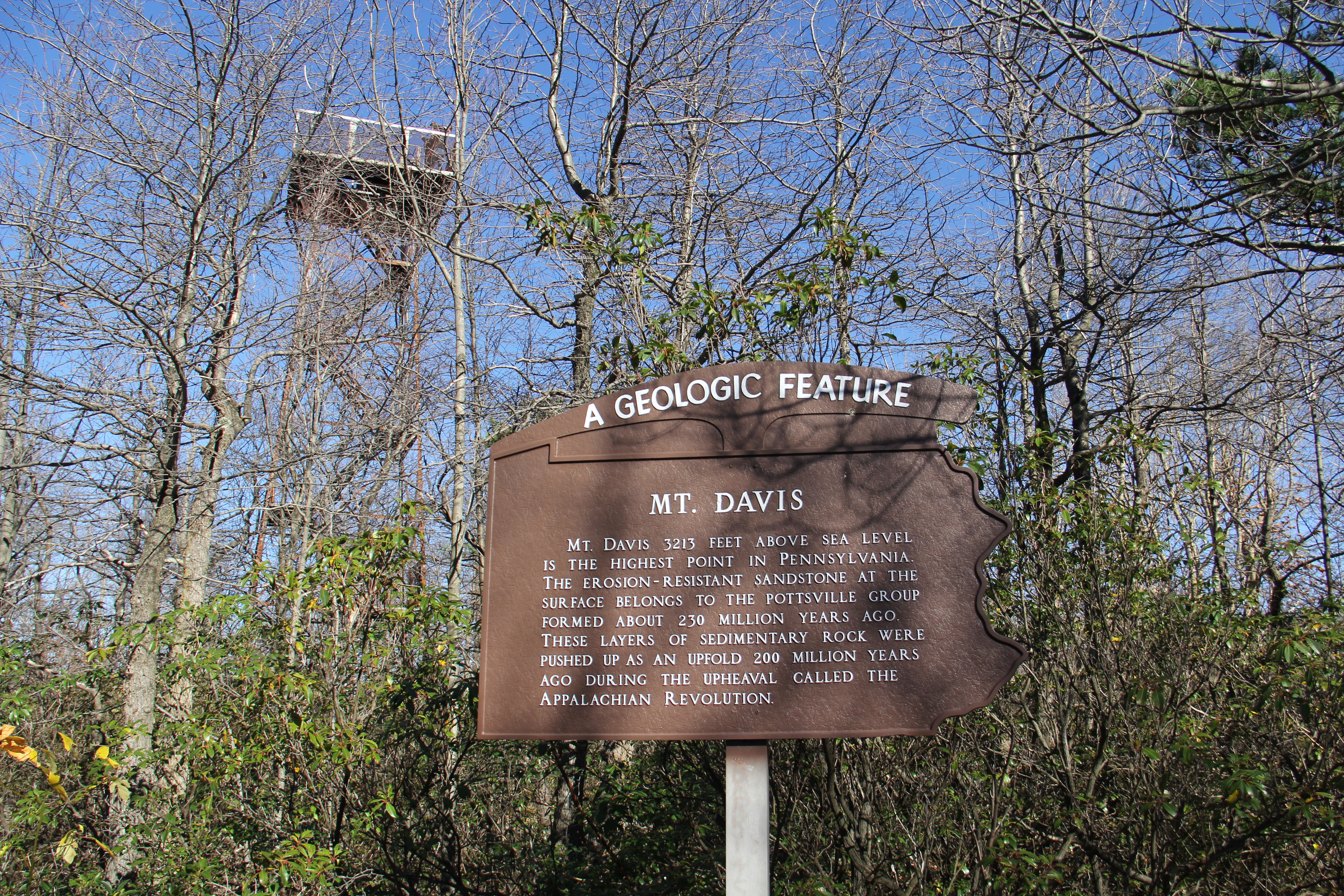
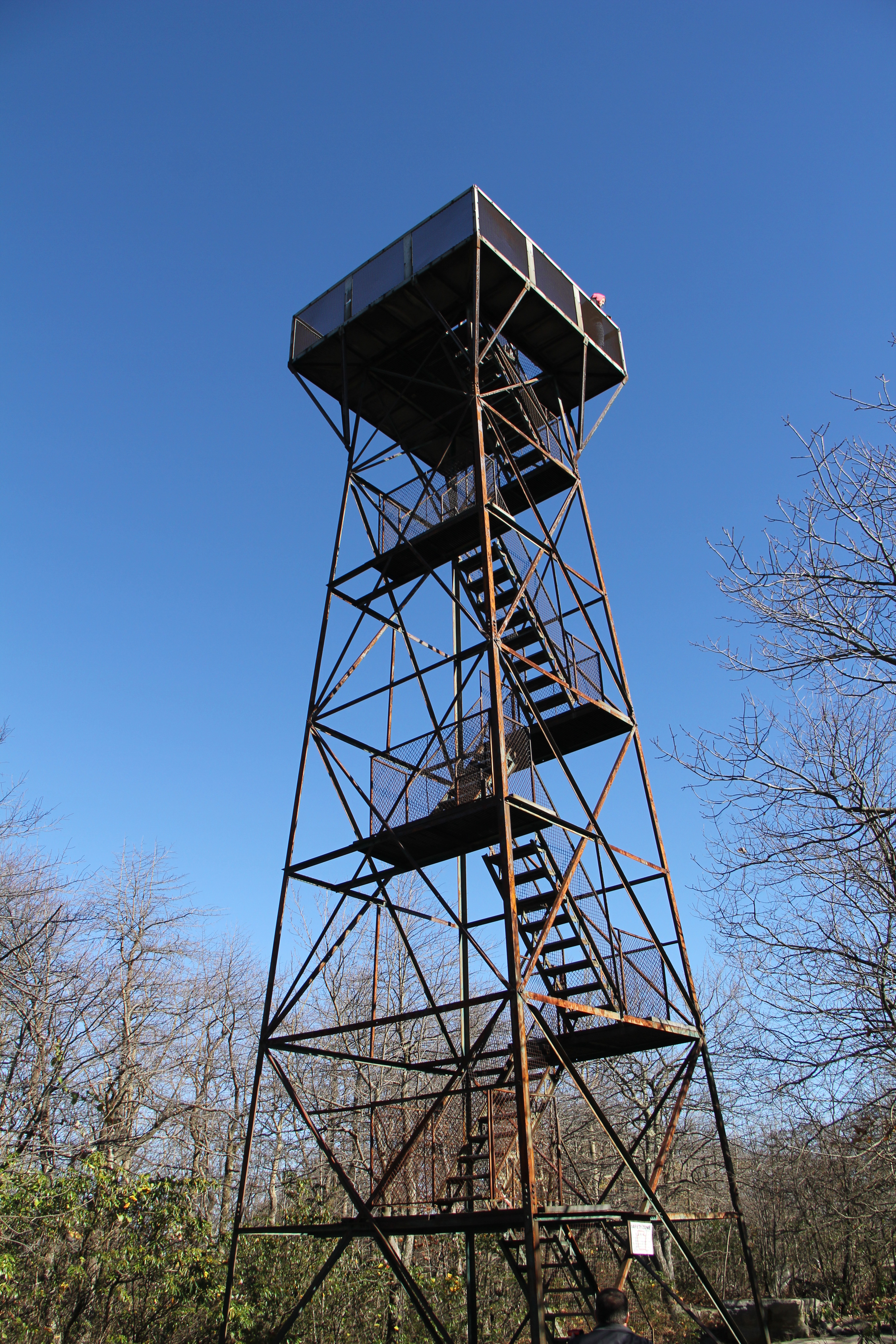
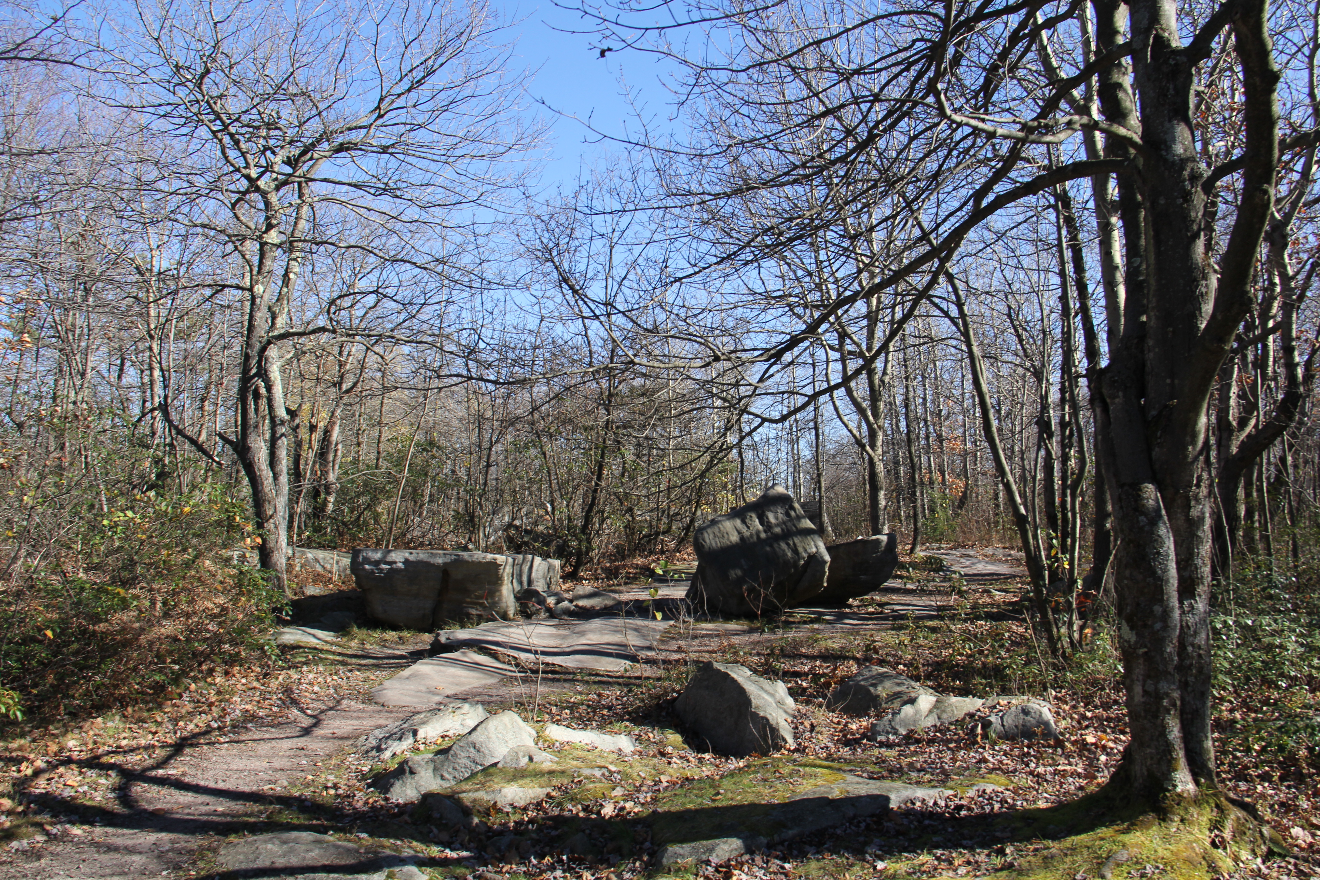
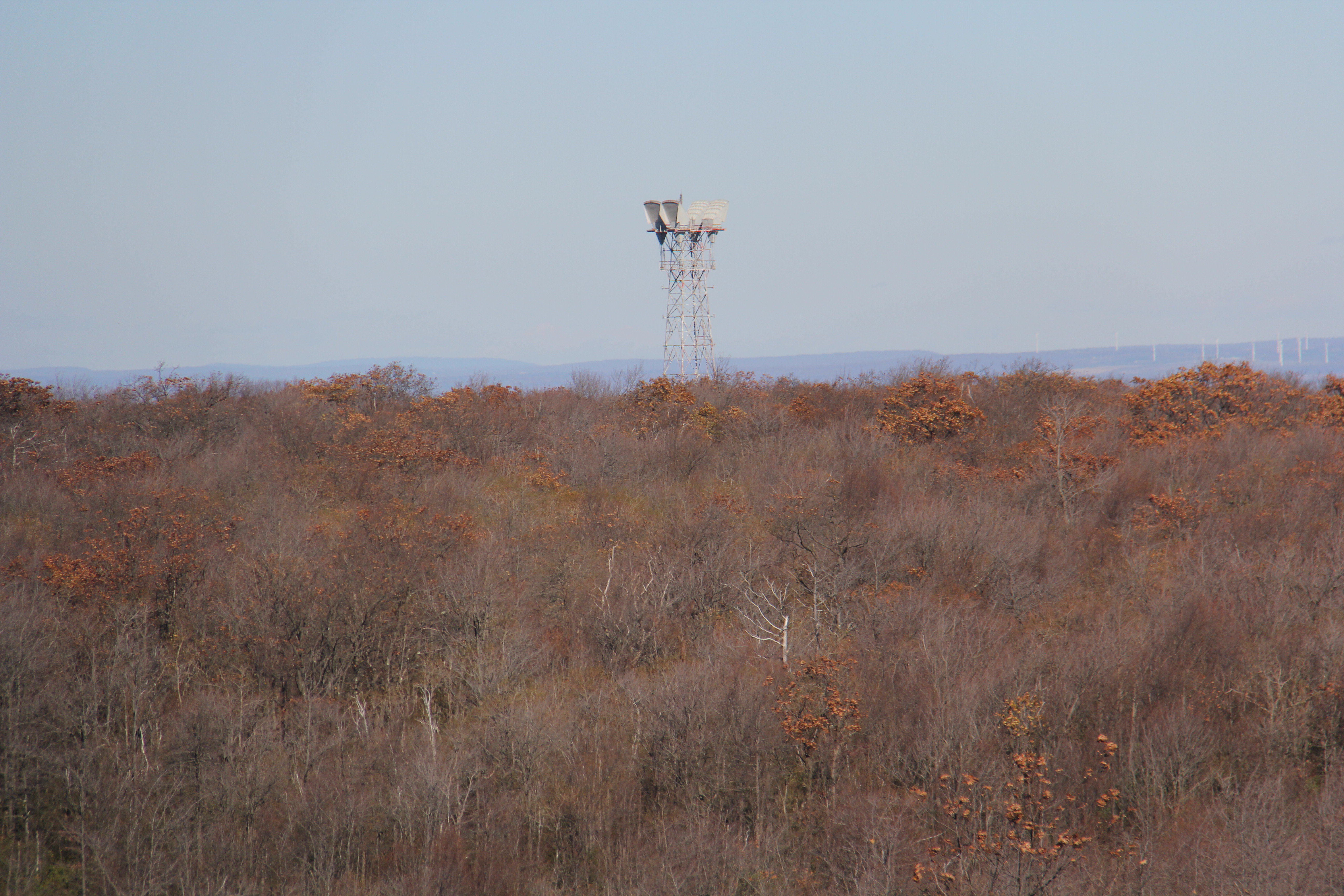
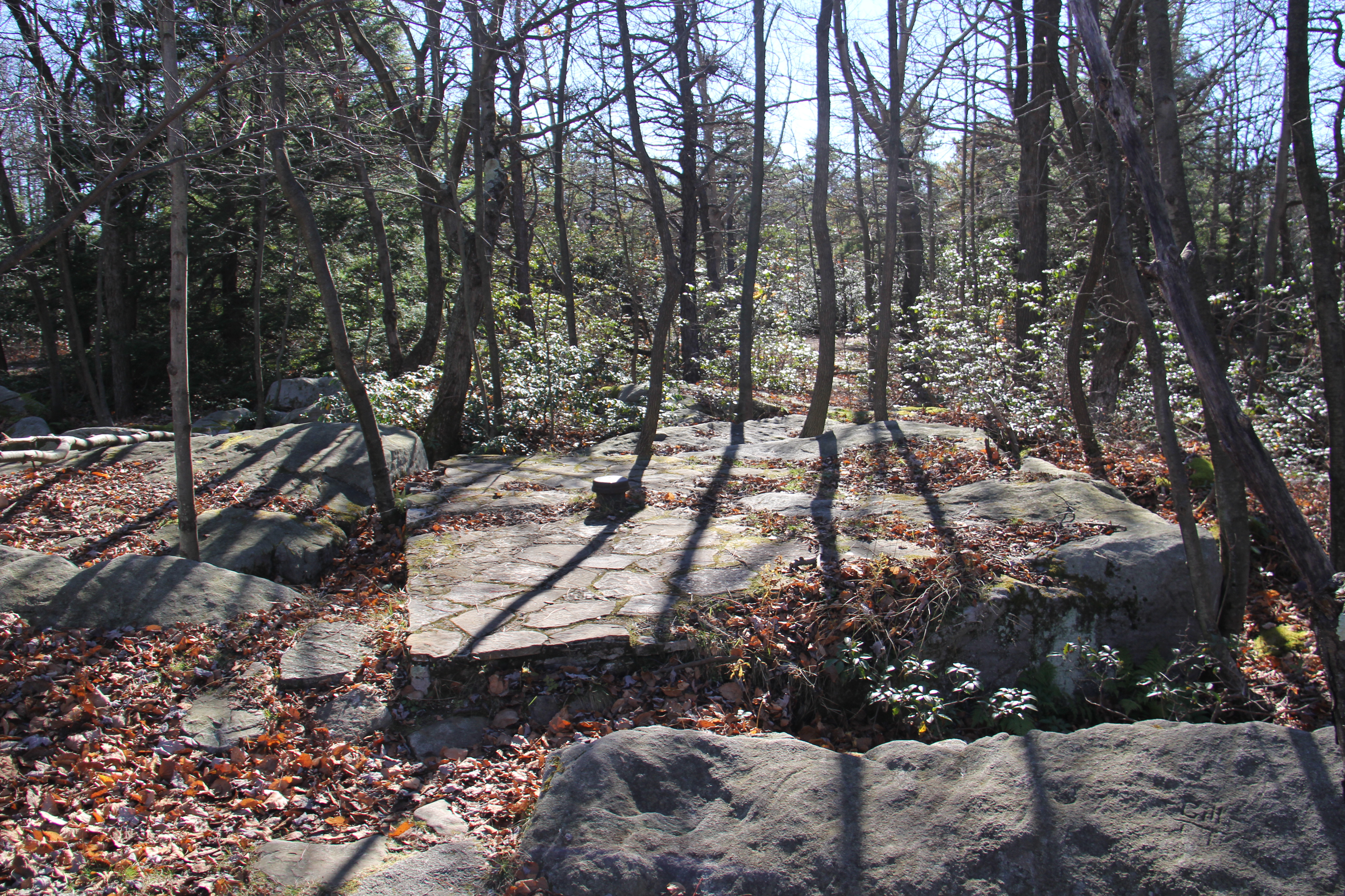
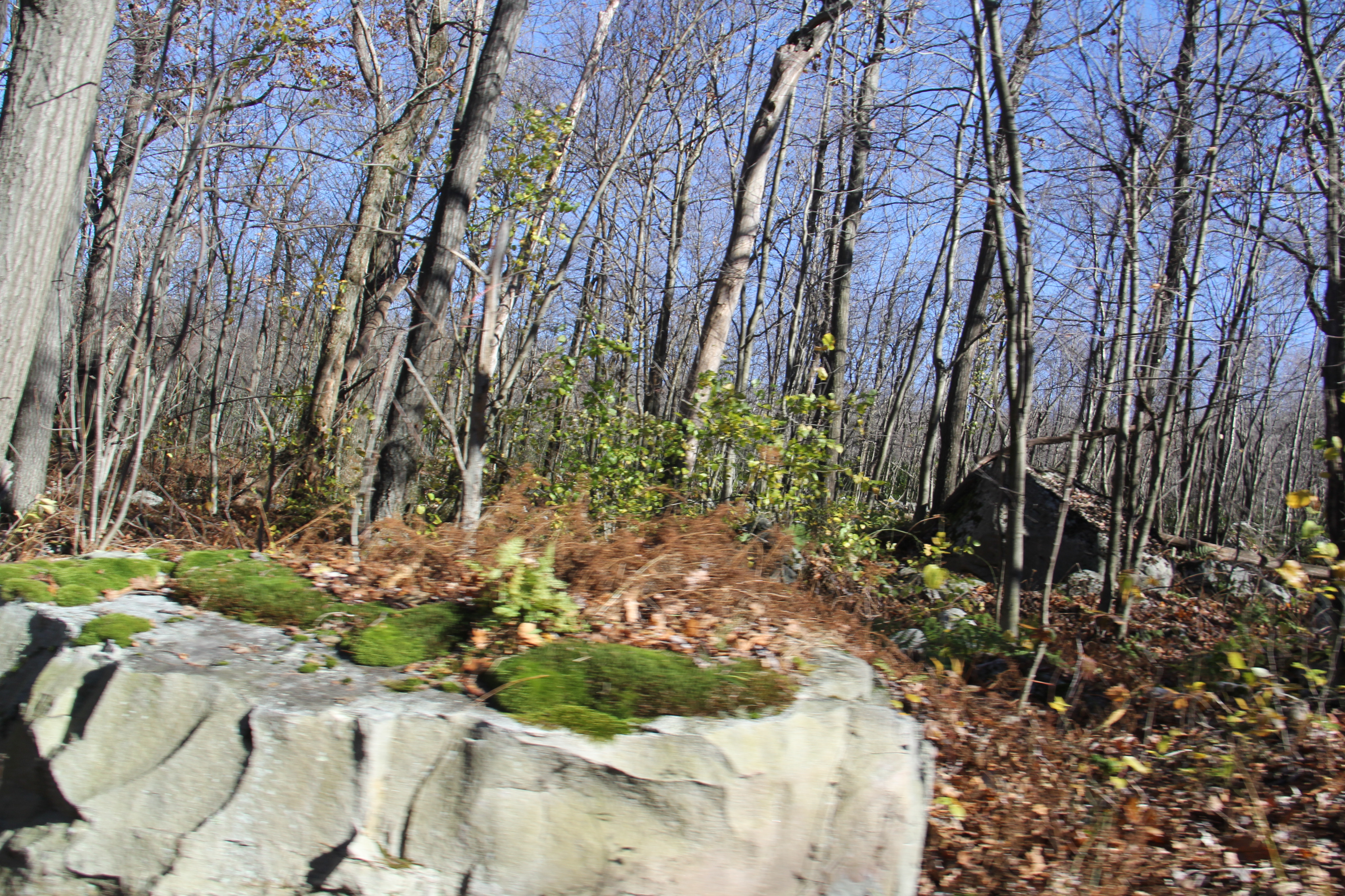
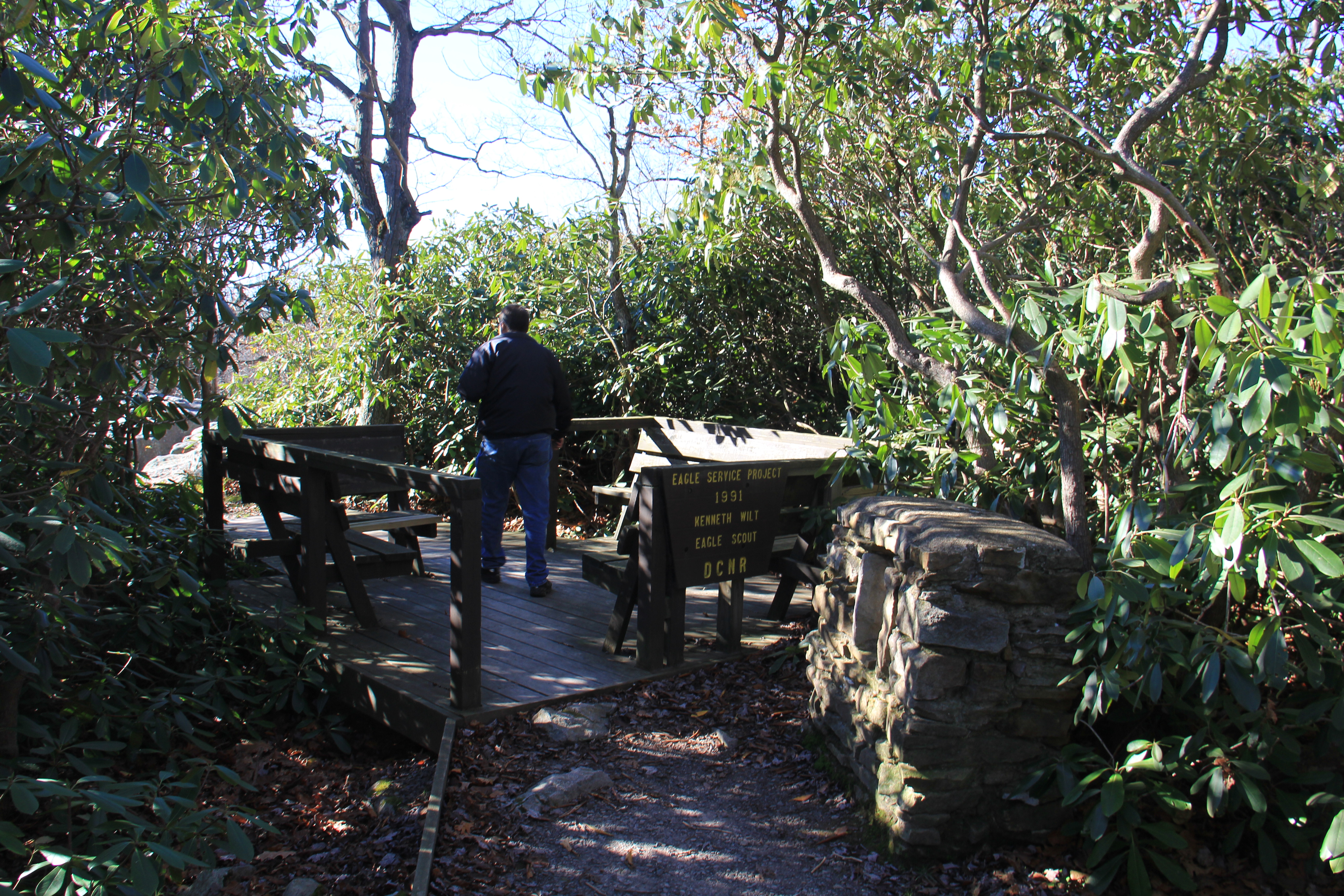
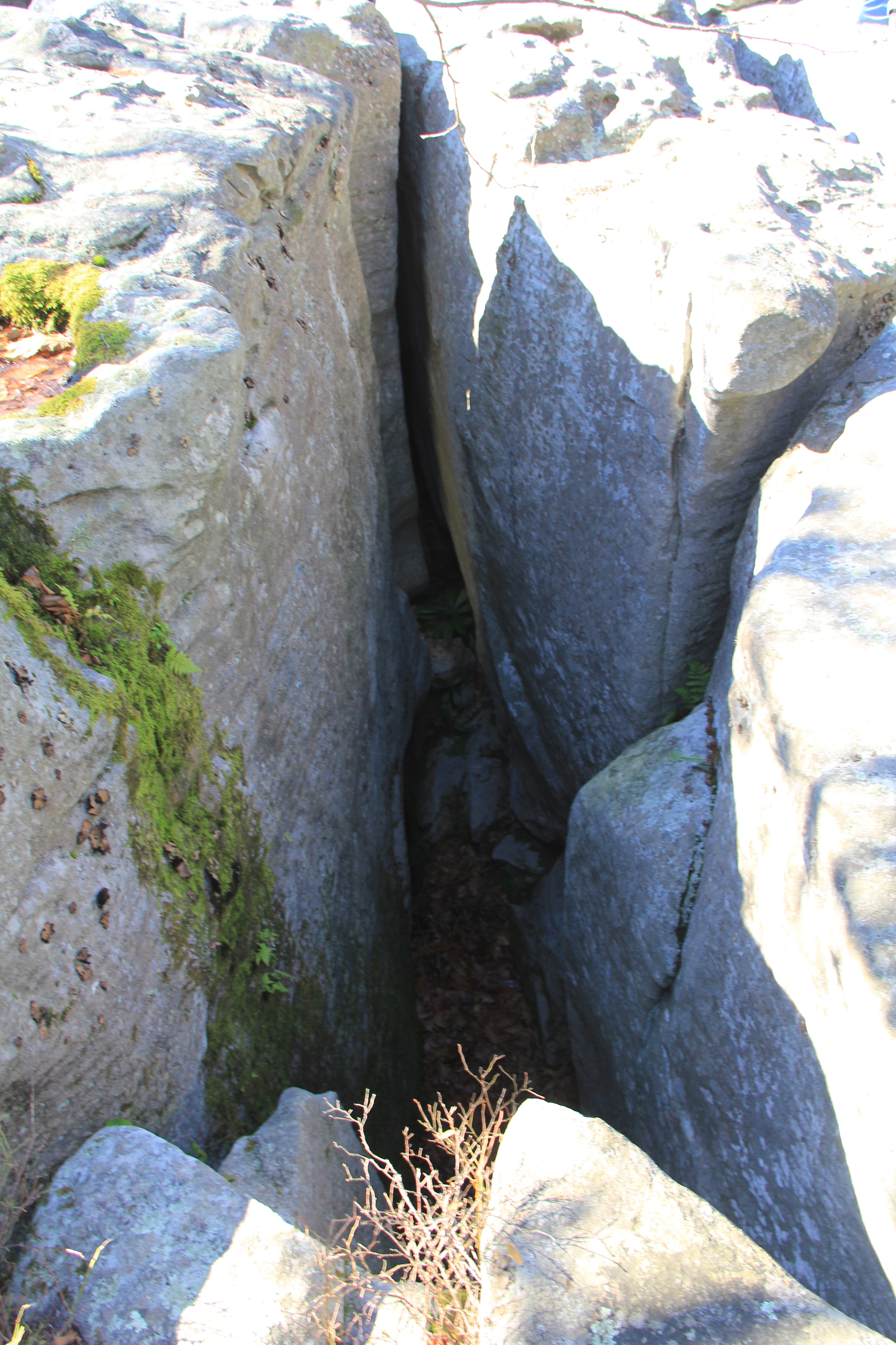
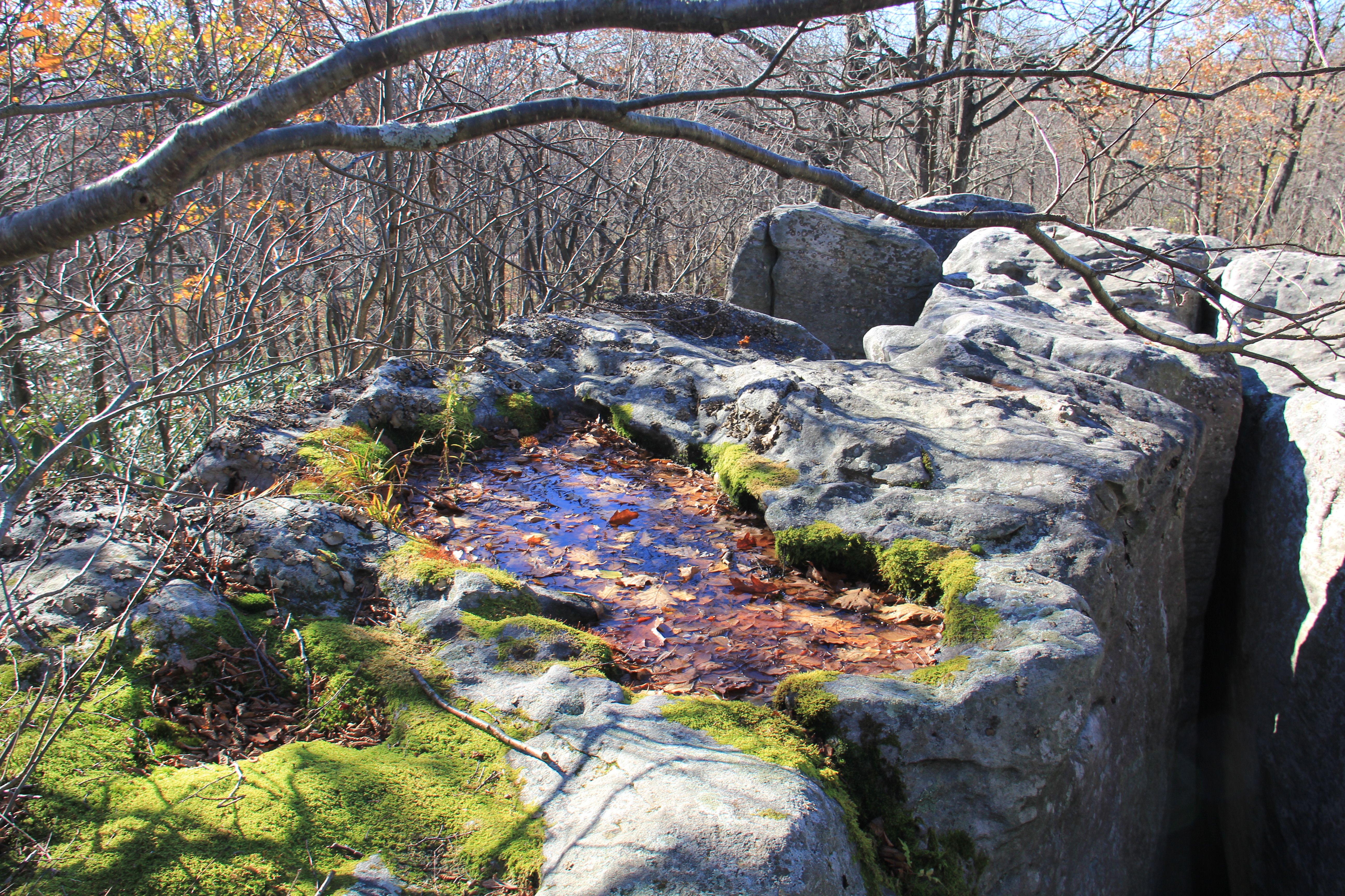
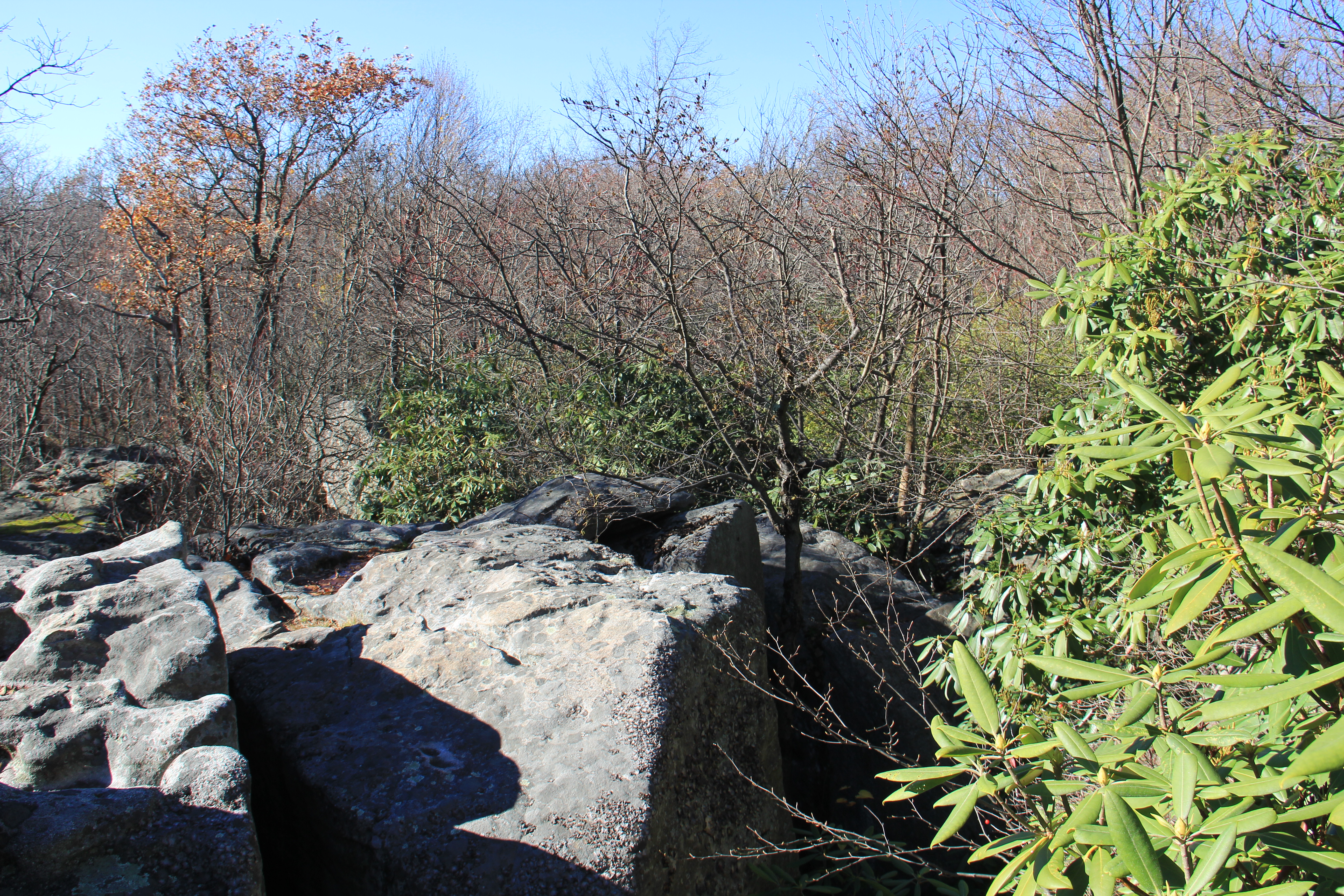
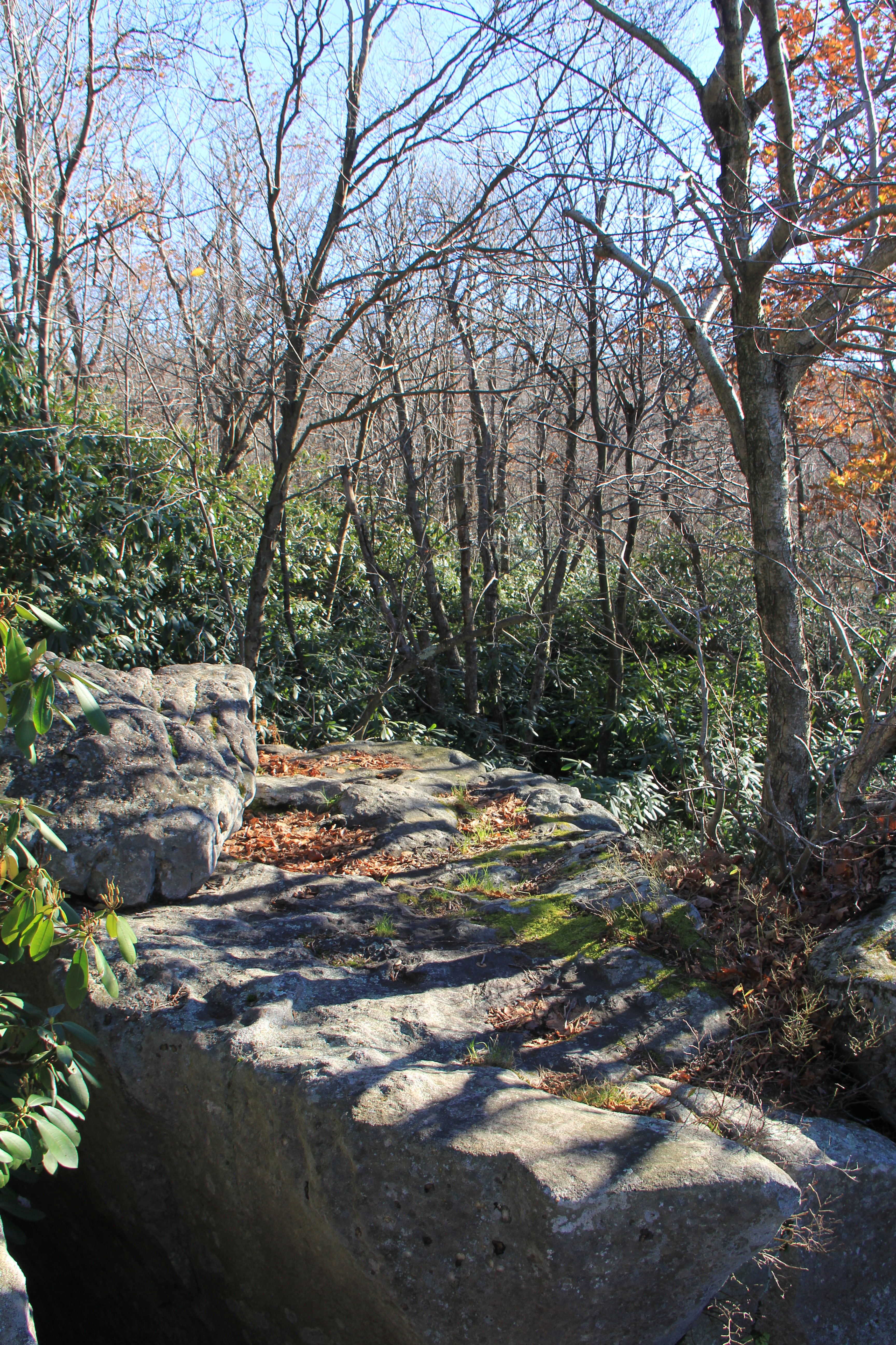
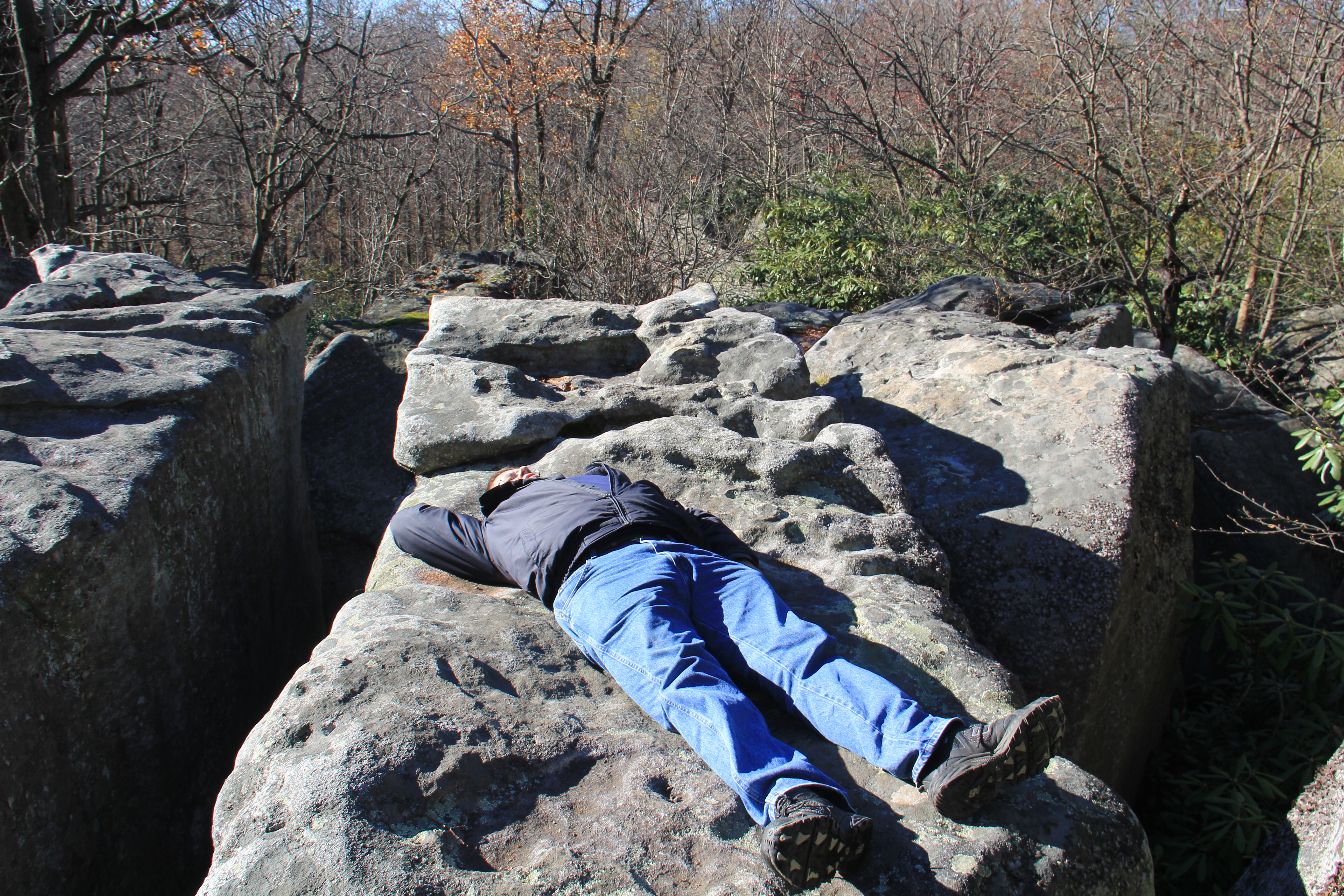
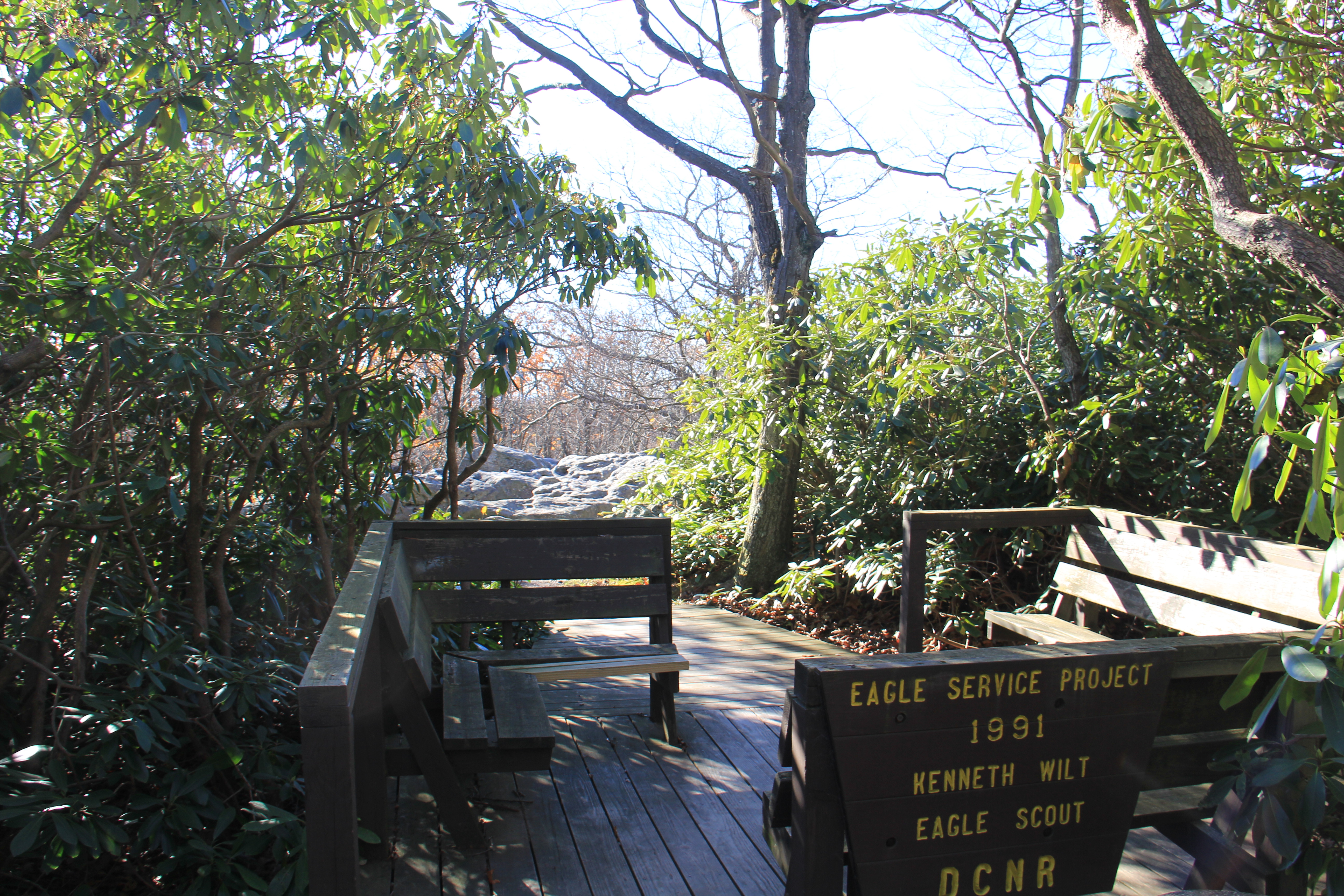
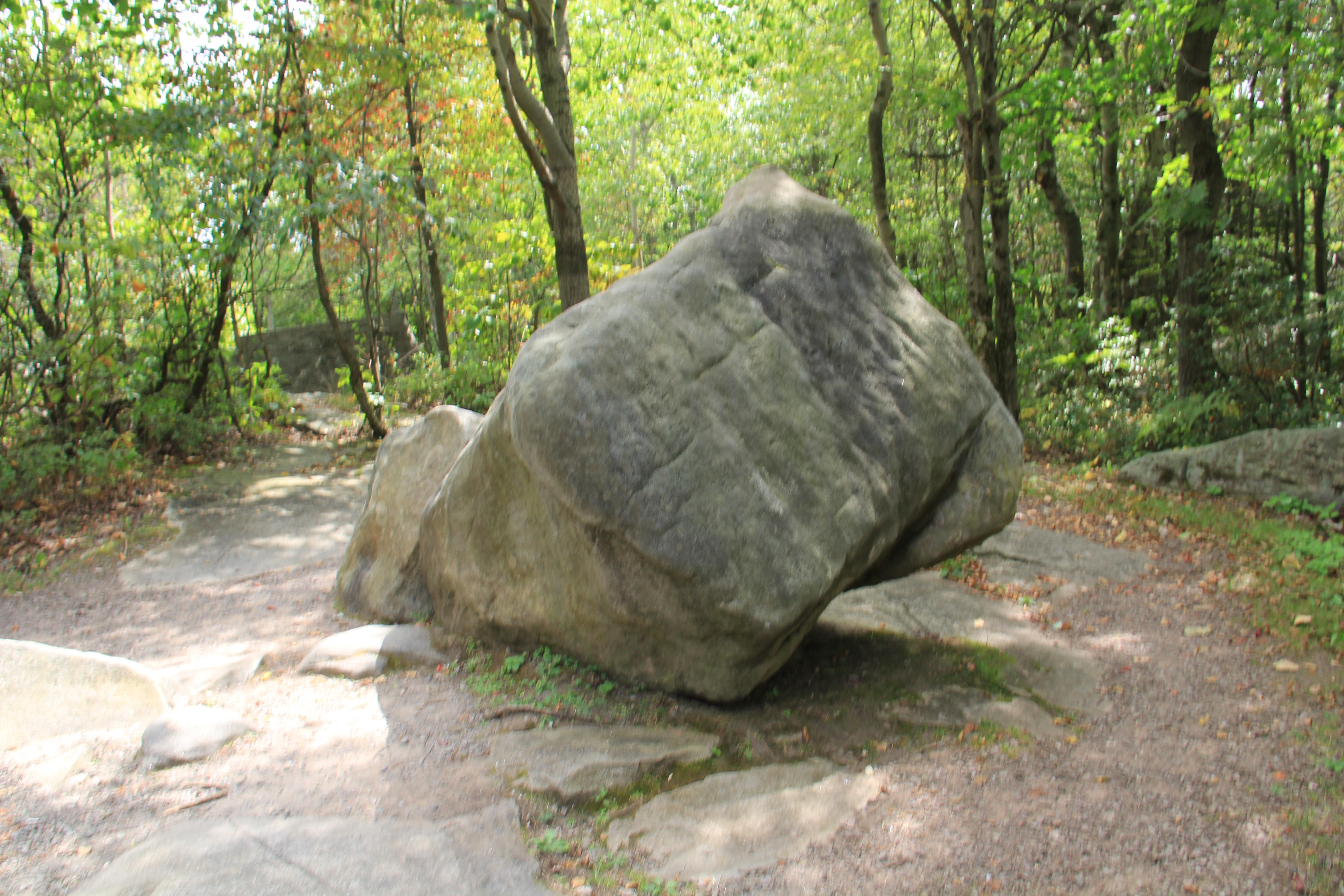
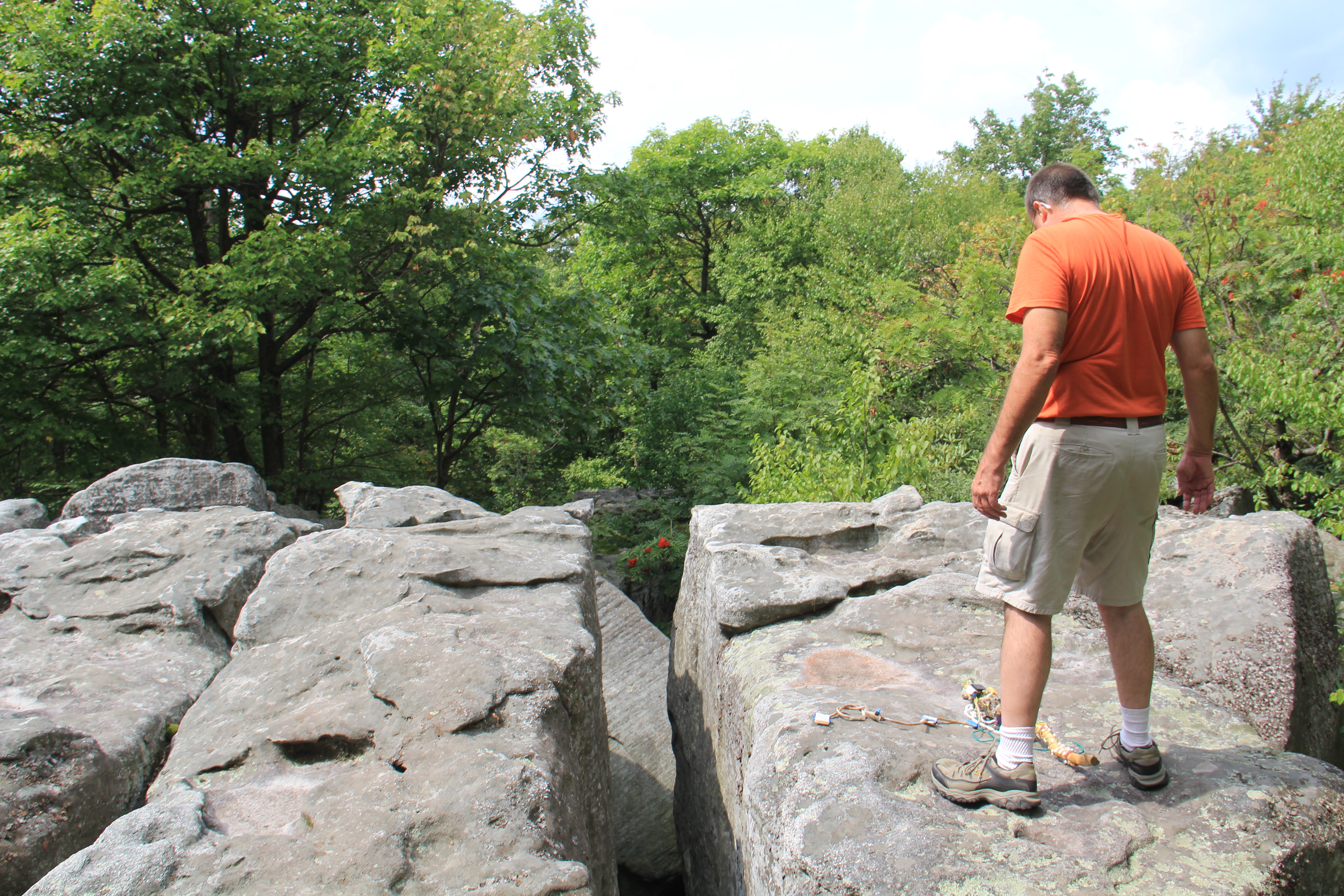
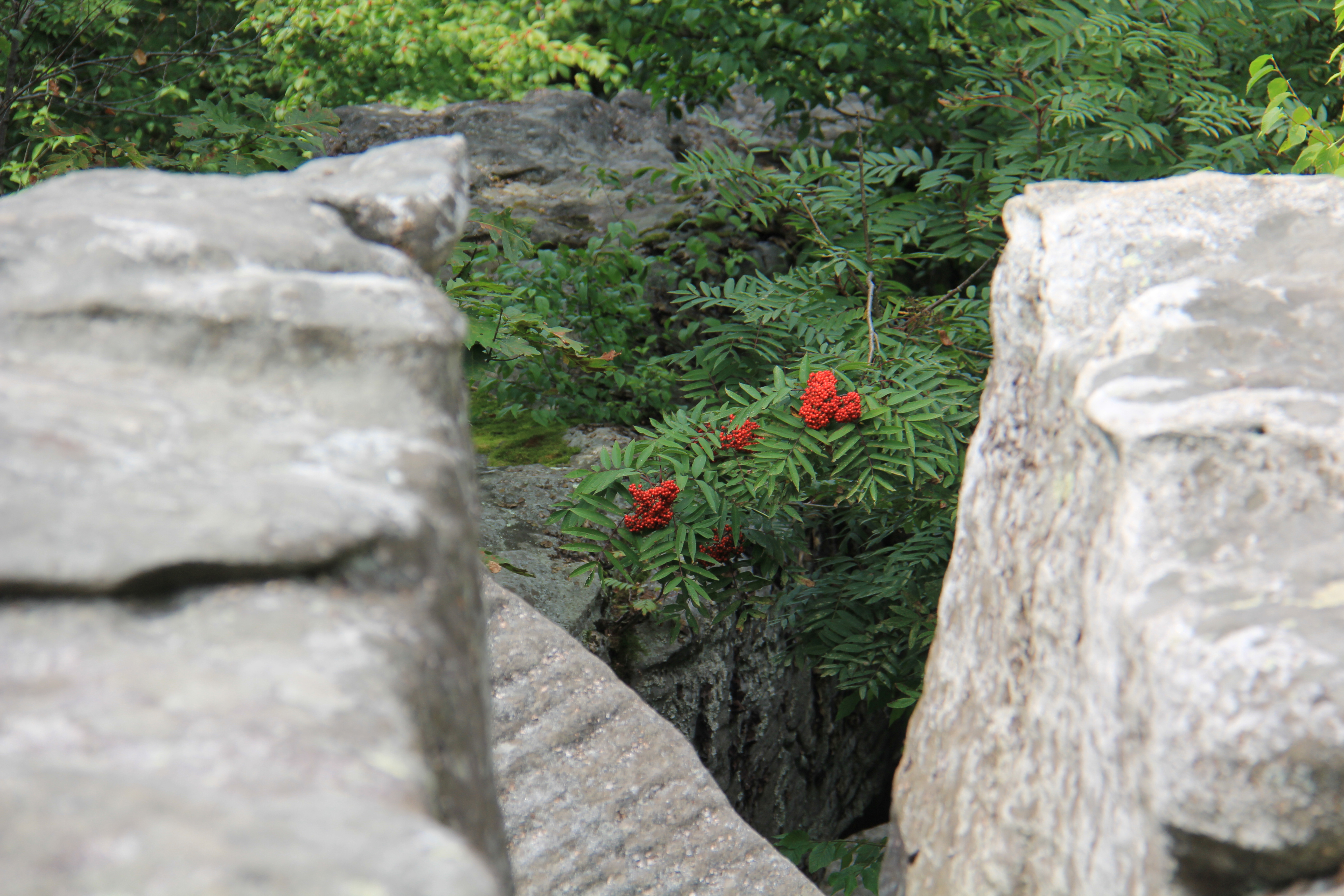
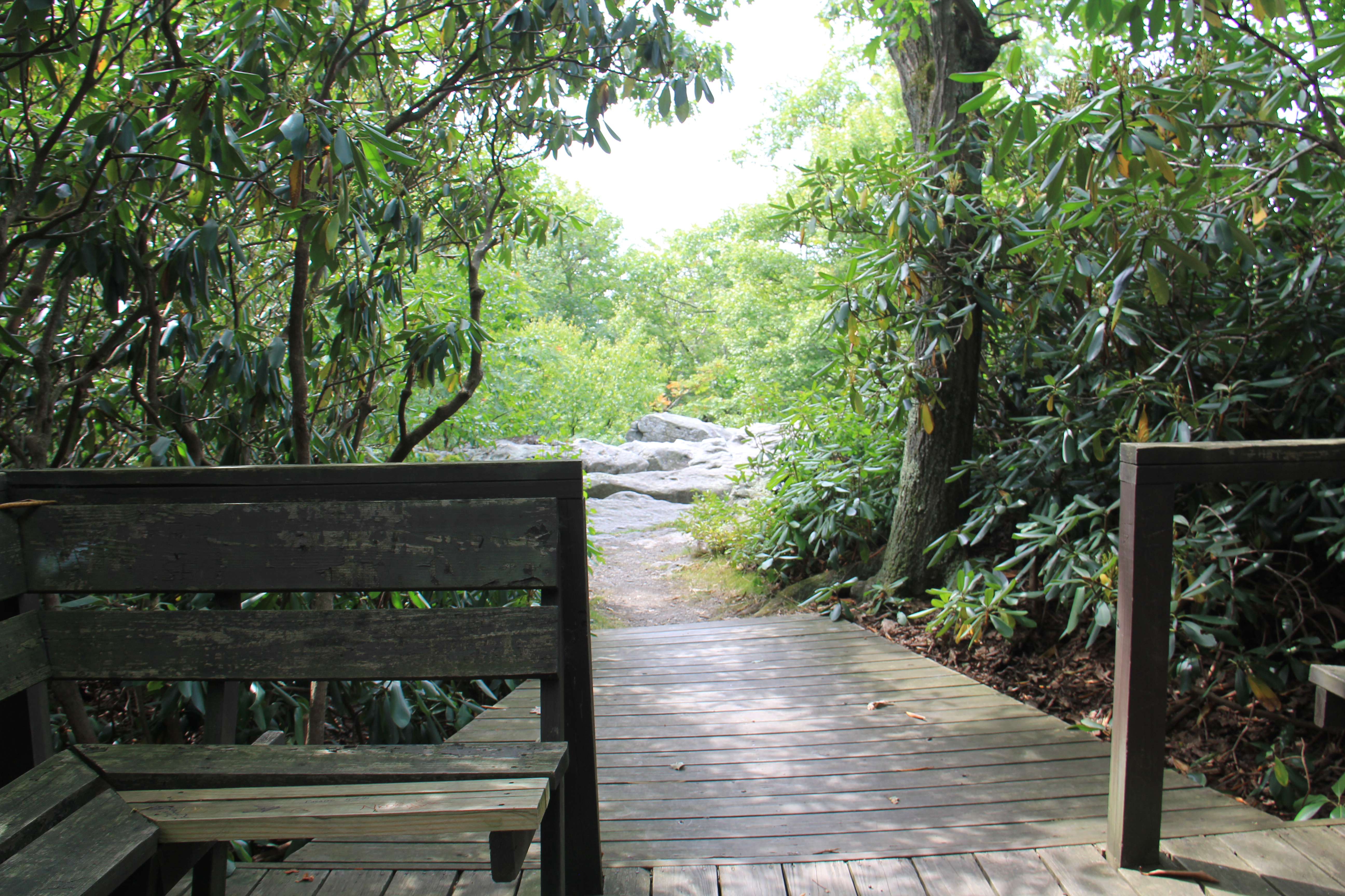
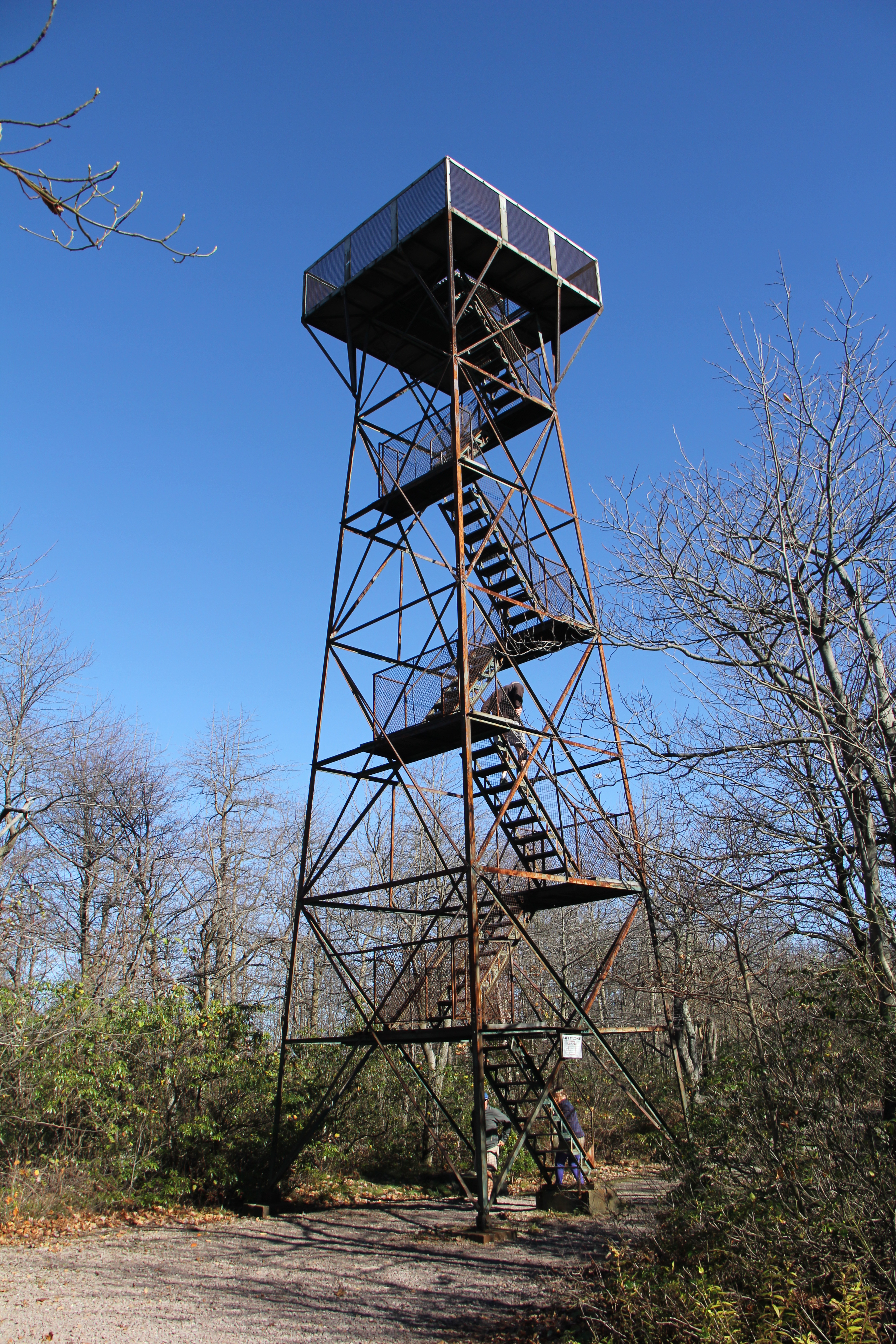
The summit of Mt. Davis may be ascended by car or a number of hiking trails. Its surrounds are noted for their patterns of unusual circular stone formed by periglacial action. A metal observation tower with a relief map of the region stands near the true high point. Mount Davis ranks 33rd on the list of highest natural points in each U.S. state.

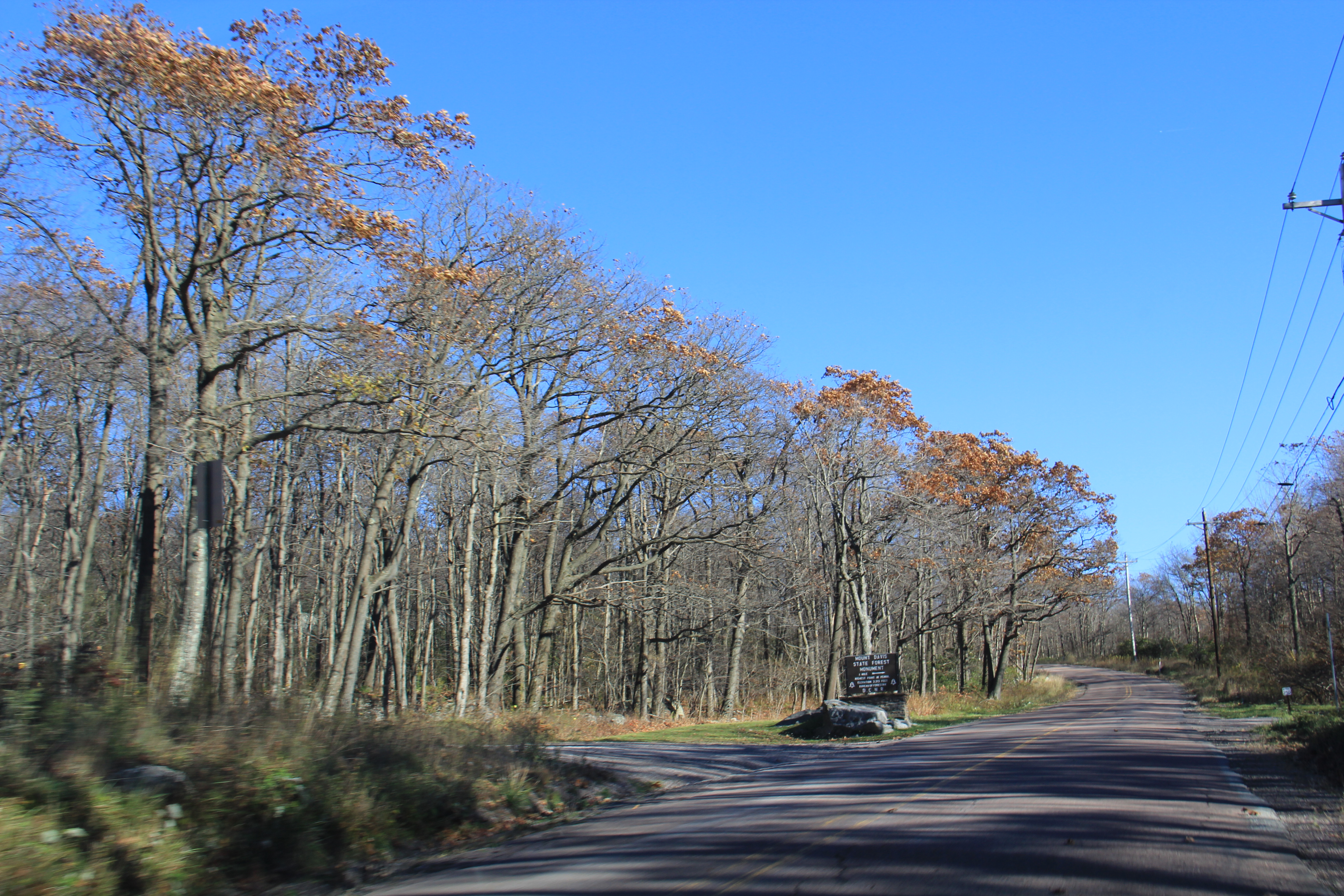
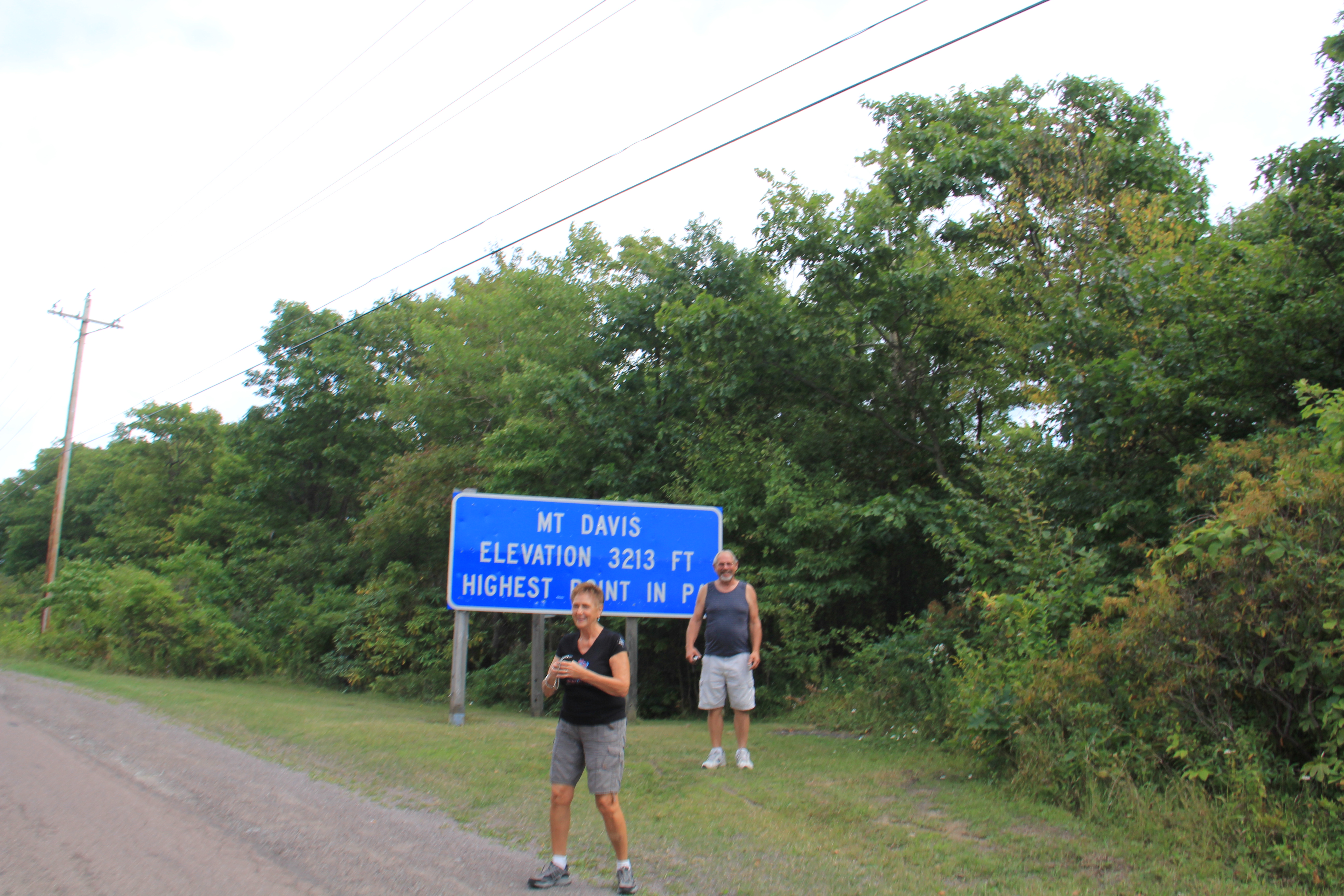
In 1921 the USGS established that Mount Davis (3,213 ft or 979 m) was the highest peak in Pennsylvania. Previously the highest peak was believed to be Bedford County’s Blue Knob. On June 18, 1921 the local chamber of commerce held a ceremony to celebrate the newly named highest point in Pennsylvania

Climate on the peak is warm in the summer, and cold in the winter. Like much of Pennsylvania, Mount Davis can experience heavy winds, rain, and hail in the summer, with ice storms and blizzards in the winter. Temperature extremes range from −36 to 29 °C (−33 to 84 °F), though frosts have been recorded in every month of the year. Summer conditions are generally mild and winters are characterized by a lot of snowfall. Average annual precipitation ranges from 38 to 42 inches (970 to 1,070 mm).

Mount Davis has a humid continental climate that is affected by the high elevation significantly enough that the area feels slightly more like a cooler version of the climate zone during the winter months. Due to its high elevation, the area is colder much of the winter than Altoona, Johnstown, or State College, despite being well south of those locations. During the summer months, the area is a retreat for other Pennsylvanians with high temperatures averaging around 15 degrees cooler than Pittsburgh and eastern portions of the state. Mount Davis recorded many impressive record lows and is quite close to the state’s all-time coldest temperature.


  • About Us
  • Veterans Projects
  • Contact LHHV
  • ARTS & HERITAGE FESTIVAL 2026
  • Laurel Highlands Exploration Center

Handcrafted with on the Genesis Framework